View properties for sale in Eure
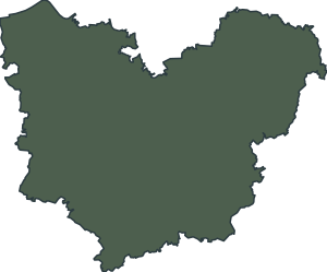
Maps: derived from IGN Admin Express data, Licence Ouverte. Shown for identification only; no affiliation with the department is implied.
Eure was one of the original 83 departments created in 1790, during the French Revolution (4 March), and it takes its name from the Eure river, which crosses it before joining the Seine. Its prefecture is Évreux, and its sub-prefectures are Les Andelys and Bernay. It is part of the Normandie region, and from 1956 to 2016 it was part of the Haute-Normandie region.
It is a department of many small communes, with Évreux, Vernon, Louviers, Val-de-Reuil and Gisors among its larger towns.
The sections below cover the numbers, the landscape and weather, the largest communes, the Plus Beaux Villages de France label, food and drink and the properties currently listed.
| Fact | Figure |
|---|---|
| Department number | 27 |
| Region | Normandie |
| Prefecture | Évreux |
| Sub-prefectures | Les Andelys and Bernay |
| Communes | 585 |
| Population (INSEE) | 602,714 |
| Area | 6,029 km² |
| People per km² | 100 |
| Communes with 2,000 people or more | 48 |
| Largest commune | Évreux (49,360) |
| Created as a department | 1790 |
| Plus Beaux Villages de France | 2 villages |
| Highest point | 248 m, south of the Pays d'Ouche |
| Forest cover | 23 % |
| Properties listed with us | 1 |
| Price range of those properties | € 174 963 |
| Average temperature, Évreux-Fauville (1991–2020) | About 11.2 °C a year |
The department has 13 natural regions, among them the Vexin normand, the Pays de Lyons-la-Forêt, the Vallée de la Seine, the Plateau du Neubourg, the Pays d'Ouche, the Roumois, the Lieuvin and the Marais-Vernier. The Andelle and the Epte flow into the Seine on its right bank, and the Risle and the Eure, with its tributaries the Iton and the Avre, flow into it on its left bank. Altitudes range from 0 m, in the Seine estuary at Fiquefleur-Équainville, to 248 m, in the south of the Pays d'Ouche. It is the most wooded department in Normandy, at 23 %, and the Forêt de Lyons, of 11,000 ha, is shared with Seine-Maritime.
Eure has a temperate, oceanic climate. Météo-France averages for the Évreux-Fauville station (1991–2020, altitude 138 m) show a yearly mean of about 11.2 °C, with about 4.3 °C in January and about 18.8 °C in July. Annual rainfall averages about 601 mm, with about 1,690 hours of sunshine. These are averages for one station, and conditions vary across the department and from year to year.
By population (INSEE), the eight largest communes are:
| Commune | Population |
|---|---|
| Évreux | 49,360 |
| Vernon | 25,290 |
| Louviers | 18,705 |
| Val-de-Reuil | 13,245 |
| Gisors | 12,410 |
| Pont-Audemer | 10,023 |
| Bernay | 9,765 |
| Les Andelys | 7,706 |
Two villages in Eure are listed by the association Les Plus Beaux Villages de France: Le Bec-Hellouin and Lyons-la-Forêt.
Calvados du Pays d'Auge and Pommeau de Normandie are AOC products, appellations d'origine contrôlée, and cider and calvados are produced in the department. Livarot, a cheese, is an AOP, a protected designation of origin, and its area covers the Pays d'Auge, including communes of Eure.
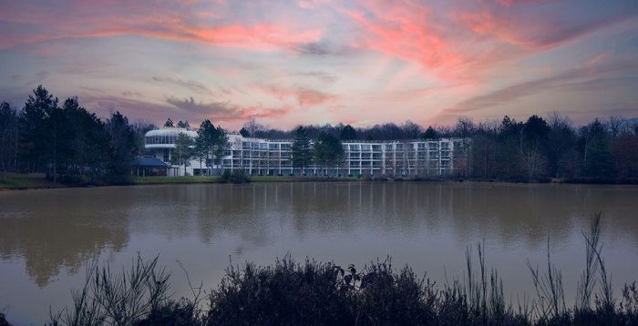
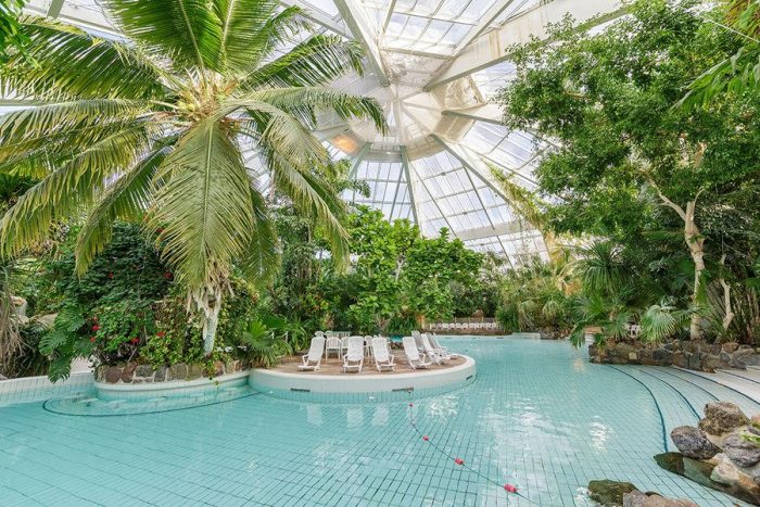
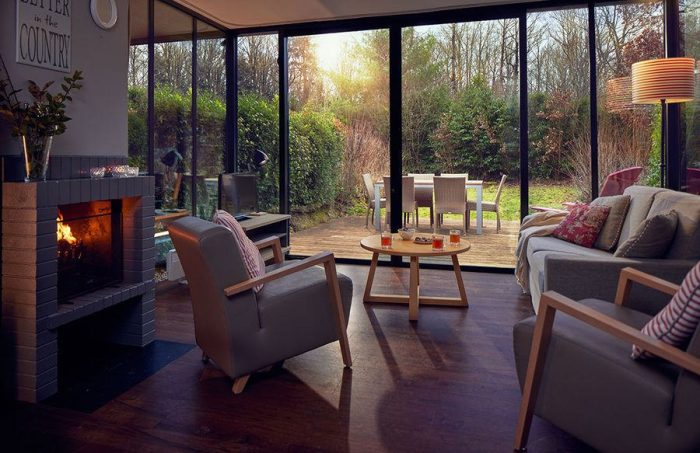
Town & Country Property France currently lists 1 property in Eure, priced at € 174 963. The types listed include house.
Sources: INSEE data via geo.api.gouv.fr (population, area, communes; density and the count of communes with 2,000 people or more are calculated from it); French Wikipedia (Eure and Géographie de l'Eure: creation, administration, name, relief, rivers, natural regions, forests; Livarot); Météo-France 1991–2020 normals for Évreux-Fauville (via Infoclimat); Les Plus Beaux Villages de France, official village index.
1 property for sale in Eure.
The prefecture of Eure is Évreux.
Eure (department 27) is in the Normandie region.
There are 585 communes in Eure.
The population of Eure is 602,714 (INSEE).
Évreux is the largest commune in Eure by population, with 49,360 inhabitants (INSEE).
The highest point of the Eure department is 248 m, in the south of the Pays d'Ouche.
The department takes its name from the Eure river, which crosses it before joining the Seine.
Two villages are listed by the association Les Plus Beaux Villages de France: Le Bec-Hellouin and Lyons-la-Forêt.
The prefecture of Eure is Évreux, and its two sub-prefectures are Les Andelys and Bernay.
We have 1 property for sale in Eure.
Communes of 2,000 people or more, by population (INSEE).